
LONOAK, Monterey County — October 30, 2026. With another California fire season underway, CAL FIRE's incident archive provides a factual reminder of the hazards along the Lonoak Road corridor east of King City. Two fires that share the name Lonoak happened in different years, had different reported sizes and should not be confused with a current incident.
June 2024: 255 acres along Lonoak Road
CAL FIRE's official 2024 Lonoak Fire page records 255 acres, 100% containment, and a start time of 8:42 p.m. June 28, 2024. It lists the location as Lonoak Road east of King City, under CAL FIRE's San Benito–Monterey Unit. The agency's page identifies the cause as under investigation in its last recorded incident status.
The state's June 28 11:41 p.m. incident update reported the fire at 225 acres and 80% containment earlier in the response. It said forward progress had stopped and listed nine engines, two water tenders, one helicopter, one dozer, two hand crews and other personnel. Those were the resources described at that moment, not a final cost accounting or an assertion that the fire is still burning.
The smaller acreage in the late-night update and the larger 255-acre figure in the final incident summary are not contradictory: the latter is a subsequently reported total. The archive is a historical record rather than a live emergency map for October 2026.
May 2017: a different fire with a documented cause
A separate CAL FIRE incident page for May 17, 2017 identifies a 17-acre blaze around Lonoak Road and Airline Road. Unlike the 2024 entry, that record lists a cause: a bird striking a power line. The 2017 event was also reported as fully contained. These are two distinct events; nothing in the record proves that they had a shared cause, owner, damaged facility or response failure.
What these records mean for residents today
Dry vegetation, wind and the remoteness of rural routes can make a small fire disruptive to travel and emergency access. For local residents and ranch operations, the useful lesson from the archived incidents is to know current evacuation information, local road status and where emergency responders can reach the property. The archive itself does not establish that a new evacuation order, electrical fault or fire restriction is in force.
Households should sign up for Alert Monterey County, review the county emergency information portal, and look up their current evacuation zone rather than relying on an old incident perimeter. For property-specific defensible-space and burn-permit questions, use CAL FIRE's current guidance. If smoke or active flames are observed, call 911; an archived article cannot substitute for an emergency call.
What remains unknown
These publicly displayed records do not provide a verified current-year fire-risk score for a specific Lonoak parcel or establish 2026 property losses, insurance eligibility or the outcome of the 2024 cause investigation. We have not inferred any of those details. An earlier California58 story about Lonoak Road rehabilitation funding addresses road infrastructure, not these historic wildfire incidents.
Primary sources: CAL FIRE, 2024 Lonoak Fire; June 28, 2024 incident update; CAL FIRE, 2017 Lonoak Fire. This is historical reporting, not a breaking-news alert.
Corrections and local documentation: California58 Editorial Desk.
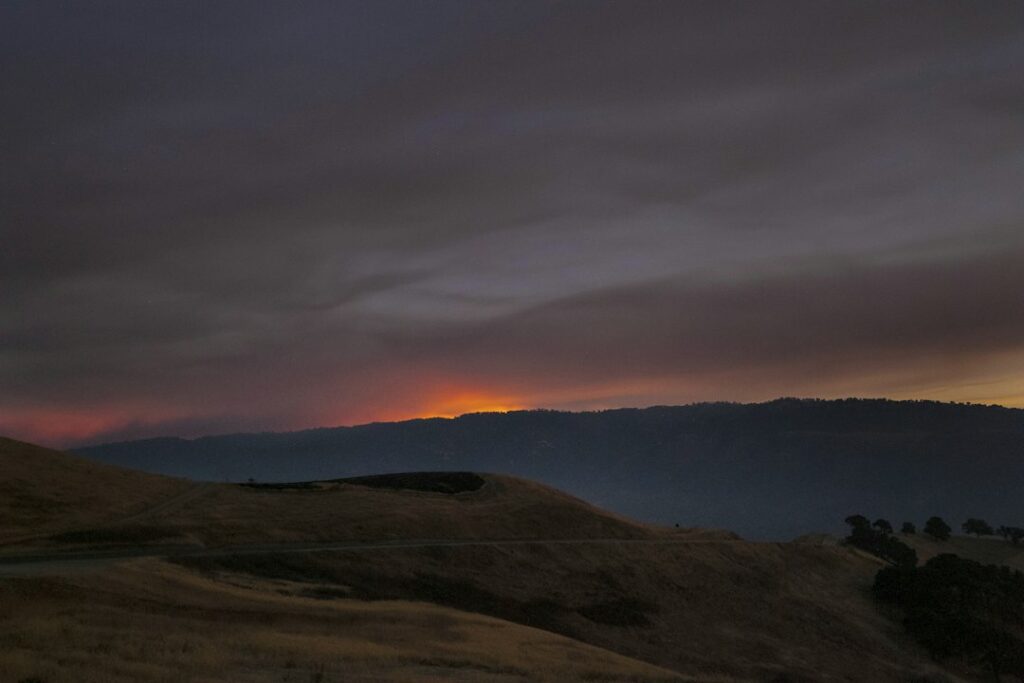
Featured image: historical California wildfire landscape by Kitera Dent / Unsplash, from California58 media library. Illustrative only; it does not depict either Lonoak Fire.
Support Lonoak News
Choose how to support Lonoak News:
Credit / Debit Card via StripeChoose your contribution amount on the secure California58 Stripe checkout. One-time support for independent local journalism.
Continue with PayPal Continue with ZelleZelle payments go to Vitaly Ataev Troshin. Please verify the recipient in your bank before sending. Availability depends on your bank.
Optional reader support. When possible, add “Lonoak News” to the payment note. Contributions are not advertised as tax-deductible. Support does not influence editorial decisions.More from Lonoak News
- Lonoak Road Maintenance: How to Report a Washout, Blocked Culvert or Dangerous Pothole →
- Lonoak Wildfire Maps: How to Check Your Property Without Mistaking Hazard for an Evacuation Order →
- Lonoak Ranch Parcels Reconfigured: County Approved 133-Acre Boundary Shift Without New Homes →
- Lonoak Road Rehabilitation Listed for $450,000 in Monterey County Measure AA Project Program →
COMMUNITY
Comments
Join the California58 conversation. You must be signed in to comment.
Create a free California58 account or sign in with an available social provider.